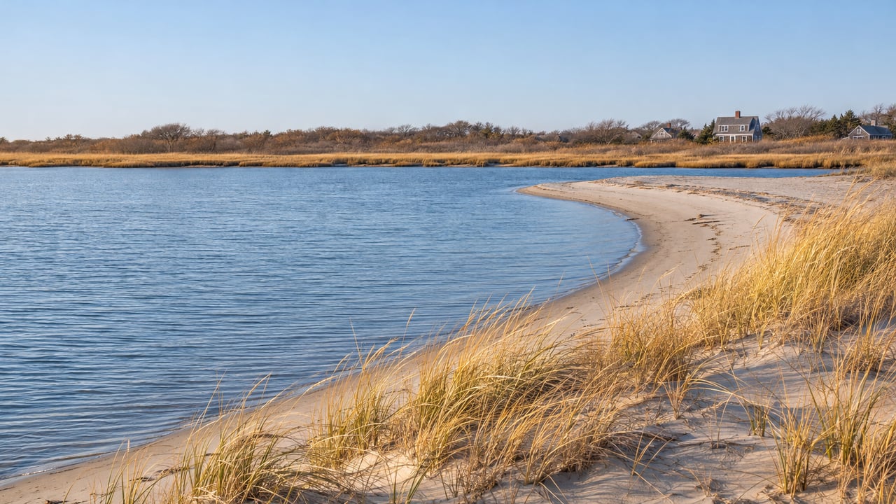
Saturday morning, November 26, 1898, was "a gray day, strangely quiet," in Kezia Bacon's account of the Portland Gale for the North and South Rivers Watershed Association. By evening the temperature had dropped and snow flurries had started. The gale came on fast and blew all night. Its eye passed over Marshfield and Scituate around 6 o'clock Sunday morning, and the storm kept going for another 24 hours. When the sun came up on Monday, November 28, the North River no longer reached the sea where it had for as long as anyone in either town could remember.
This Thanksgiving falls on the storm's 128th anniversary, and the storm left its mark on Humarock. The beach there belongs to Scituate, and the lot on Marshfield Avenue requires a Scituate sticker in summer. Every road into the village still crosses the South River from Marshfield, though, and the only land connection runs south through the Rexhame Dunes. All of it traces back to that one weekend in 1898, and you can see the evidence in a single afternoon loop that starts at the end of Standish Street.
Where the river met the sea before the gale
Before 1898, the North and South Rivers joined and emptied into the ocean at what is now Rexhame Beach. Marshfield's older name, Missaukatucket, is translated as "at the large mouth of the river." Humarock ran south from Scituate's Third Cliff, past Fourth Cliff, all the way down to that mouth. The ground between Third and Fourth Cliffs was a narrow shingle beach.
North River shipbuilders wanted a cut through that shingle beach for decades. The river was so shallow and winding that a newly built ship could take a full week to reach open water. In 1831, Samuel Deane wrote in his History of Scituate that the beach between the cliffs was "slowly wasting" and that the river would probably find its way out there one day. In 1843 the state turned down a petition for the cut, so a group of supporters went out one night with picks, shovels, oxen and horse teams and dug across the beach by lantern light. They hit a rock-hard meadow bank under the sand, water ran through only briefly, and the beach filled back in.
The gale did what the shovels could not. A surge on the river washed over the beach between Third and Fourth Cliffs and cut a permanent channel. Later that channel was named New Inlet. The North River became about three miles shorter, and the South River, which used to meet it at Rexhame, became about three miles longer. Across New England, 141 shipwrecks were reported during the storm, and 100 bodies were later found along the South Shore from Nantasket to Plymouth. Carrie Phillips of Brant Rock wrote afterward, "Sea walls are all gone. There is hardly room to drive a team… the bank has washed away so…"
The cove at the top of a Rexhame dune
The old mouth is the first stop, and it sits on the Marshfield side. Park at the Rexhame Beach lot at the end of Standish Street. Then turn your back on the ocean. NSRWA's guide to nature walks in Marshfield describes a lesser-known network of trails that runs from the parking area through the dunes, along the South River, and over toward Humarock. A sticker or fee applies at the lot in season, and the town lists its rates on the Marshfield beaches page.
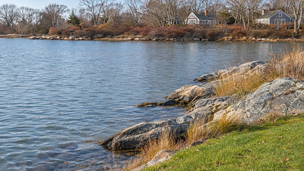
The Rexhame Dunes rise at least 20 feet above mean high tide and are covered with cedar, beach plum, heather and deep-rooted dune grass, on sand that was river channel before 1898. Bacon's earlier NSRWA piece, "The Storm That Changed the River's Flow," tells you to climb to the top of a dune and look toward the river. You are looking for "a small cove cut into the beach where one of the river's many bends stretches unnaturally seaward." That cove is where the North and South Rivers used to meet the sea. The dunes are fragile, so stay on the established trails.
Some people tried to undo the storm. A group of divinity students went to Rexhame with shovels to keep the old mouth open. The sand won anyway. For a few years after the gale Humarock was an island, and once the Rexhame inlet closed it was a peninsula again, this time attached to Marshfield. A walk south from Humarock Beach today crosses into Marshfield at Rexhame without leaving the sand.
The Sea Street Bridge and White's Ferry
The second stop is where the road crosses. The Sea Street Bridge is owned by the Town of Marshfield and connects Marshfield's Sea Street to Humarock's Marshfield Avenue. People crossed the river here long before there was a bridge. A ferry started at this spot in 1638, at the narrowest point of what was then the North River and is now the South River. It carried people and cattle in separate boats. Jonathan Brewster, son of Elder Brewster of the Mayflower, was the first ferryman. Benjamin White, grandson of Peregrine White, took the ferry over in 1712, and it has been called White's Ferry ever since. Look for the historical marker at the western end of the bridge.
The ferry crossing was also part of the Pilgrim Trail, the Green Harbor Path that Plymouth Colony formally designated in 1637. After the ferry, the trail ran up Humarock's barrier beach and crossed onto Scituate's mainland between Fourth and Third Cliffs, on its way to Scituate's First Church. That stretch of the old route now lies under New Inlet.
The first bridge went up in 1881, built by the Fourth Cliff Land Company to serve the new Hotel Humarock. During World War II the bridge was reinforced to carry heavy equipment to the military base on Fourth Cliff. It was rebuilt in wood in 1952, and in 2007 and 2008 it was replaced with the current eight-span precast concrete bridge, when the channel underneath was also dug wider and deeper for boats.
The bridge carries the name of Captain Frederick Stanley, and it was named for him in 1998 to mark the gale's 100th anniversary. Stanley ran the life-saving station at the southern base of Fourth Cliff, station #28. It was built in 1879, had a crew of seven and a 25-foot lifeboat, and burned in 1919. The station's southern patrol route ran about three miles down the beach to the river mouth near present-day Rexhame. That is the mouth the gale closed. The bridge has a wide concrete sidewalk, so it is easy to stop halfway across and look down at the South River.
Marshfield Avenue, and the long walk to New Inlet
Once over the bridge you are in Scituate, on a street named for the town you just left. Humarock Beach's town lot is at 24 Marshfield Avenue. A Scituate sticker is required there from Memorial Day weekend through Labor Day, and off-season parking is free, which covers a Thanksgiving weekend visit. There are also several public spaces on Marshfield Avenue.
The name comes from the land, not the surf. "Humming Rocks" is the popular story, but Scituate town records from 1732 call the Fourth Cliff area "Hummock Flats," a hummock being a hill near a marsh. An 1879 town map labels the peninsula south of Fourth Cliff "Shore Hummock." Over time, "Hummock Rock-beach" became Humarock.
Walking along Marshfield Avenue, you pass the site of the resort the first bridge was built for. Hotel Humarock had room for 250 guests and advertised gas lights, electric bells in every room, three bowling alleys and a billiards hall, at $2.50 to $3 a day. It stood on the right as you came over the bridge from Marshfield, and it burned in June 1901, two and a half years after the gale. Close to Humming Rock Gifts on Central Avenue is a building that was the Hotel Royal in 1911. It later became Clark's General Store and then Sands End Café, and it is now The Voyage. Fred Freitas's book "Humarock: Hummocks, Humming Rocks, and Silver Sands" dates the cottage boom to 1940, when the Silver Sands development of 145 houses went up on Fourth Cliff. Much of Silver Sands was soon taken by the government for the Fourth Cliff Military Reservation, which is now a U.S. Air Force recreation area.
From the beach, head north. The three-mile beach runs to Fourth Cliff, where you can see the river mouth. The gale's cut was 200 feet wide and ten feet deep in 1898. Since then it has grown to about half a mile wide and up to 60 feet deep. A large sandbar called "The Spit" moves around inside it, and boaters know the mouth as unpredictable. If you know the North River's fall rhythm on the tides, every one of those tides runs through the gap the gale opened.
Back to Marshfield by the other bridge
To get home, NSRWA suggests a short loop by car. Turn right off the Sea Street Bridge onto River Street and head south. Look right at Newton, Milton and Lincoln Streets for views of the river. Then turn right onto Julian Street and cross its bridge back into Marshfield. Take an immediate right onto Ridge Road for a few more glimpses of the water, and follow it back to Ferry Street near the Bridgwaye Inn. On River Street you pass Scituate's Humarock Fire Station 4, at number 4, another reminder of which town's map you are on.
The whole loop is two bridges, one dune trail and one beach walk. It covers the old mouth, the ferry crossing that came before both bridges, and the new mouth the storm opened. The Marshfield Historical Society kept the anniversary this month, with a Portland Gale talk by Fred Freitas and Dave Ball scheduled for November 15 at Ventress Memorial Library. If storms that changed this coastline interest you, Marshfield has another one on its map, told in our post on the seam in Marshfield's rail trail.
Brita Sheehan has lived on the South Shore for more than 30 years and knows how Humarock's split between Scituate and Marshfield affects a home's address, beach sticker and daily drive. If you own a home in Humarock or near Rexhame and want to know what it's worth today, schedule a complimentary home consultation or get your instant home valuation.